
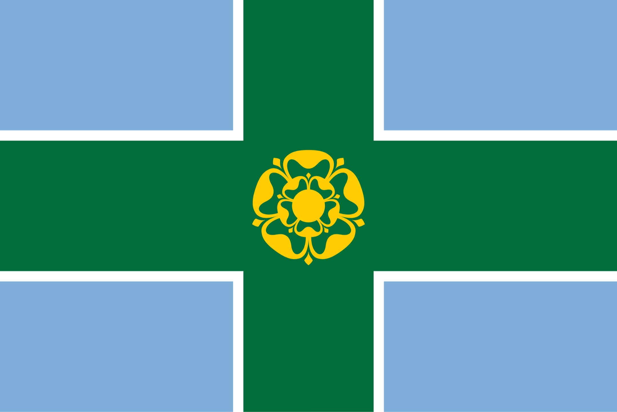
Derbyshire County
(Historic)
Map Reference: (53.138287, -1.661232)
Derbyshire is an inland Midland county. The River Derwent, which flows south through almost the entire length of the county, was at the centre of the industrial revolution. Derwent Valley Mills is a UNESCO World Heritage Site. The modern factory system was developed here to accommodate Richard Arkwright's cotton-spinning technology. Derby itself has Roman origins. It grew rapidly in the industrial era. The south of Derbyshire lies in the Trent Valley, the main town in the area is Swadlincote. West of Derby lie the South Derbyshire Claylands, a rolling plateau that slopes from the Trent Valley up to the southern edge of the Peak District. The market town of Ashbourne stands at the north of this area. East of Derby, the River Erewash forms the border with Nottinghamshire. Long Eaton, Ilkeston and Heanor lie along the Derbyshire side. At the centre of Derbyshire lies Matlock and the resort town of Matlock Bath. The locality developed in the 19th century as a spa town. Darley Dale lies on the Derwent north of Matlock, the area hereabouts being known as the Derbyshire Dales. Bakewell, famous for its pudding, lies at the southern edge of the Peak District. Close by are two famous country houses: Chatsworth House and Haddon Hall. The mountains of the High Peak take up the whole north-west of the county. Buxton retains its Victorian charm. The towns of north-east Derbyshire, including Chesterfield, Bolsover, Dronfield, Eckington, Staveley and Killamarsh, reflect the area's industrial and mining heritage.

All The Tools You Need To Build A Successful Online Business
Lorem ipsum dolor sit amet, metus at rhoncus dapibus, habitasse vitae cubilia odio sed. Mauris pellentesque eget lorem malesuada wisi nec, nullam mus. Mauris vel mauris. Orci fusce ipsum faucibus scelerisque.

